
The Geography of Colombia: Incredible Landscapes

Editor
Updated on
The geography of Colombia is nothing ordinary.
Three Andean cordilleras, the Amazon forest covering nearly half of the territory, vast plains to the east, and two oceanic fronts.
All possible thermal levels: from eternal snows to the desert, through coffee valleys and volcanic sand beaches.
A formidable condensation of landscapes, among the most diverse in the world, that I never tire of exploring since I moved to Colombia in 2015.
Follow me in this life-size puzzle: you will have the impression of crossing several countries without ever leaving Colombia. Region by region, I reveal its wonders and how to venture there.

We constantly explore Colombia to find what’s truly worth it — authentic places, stays and experiences, far from tourist traps. Then we build your ideal trip in a logical and optimized way, so you make the most of it, without rushing everywhere, truly connected to the country.
→ About us | ⭐⭐⭐⭐⭐ + 185 reviews | → Our service

- In Colombia since 2015
- + 1025 tested experiences
- + de 145 local partners
- + 335 trips created


GEOGRAPHY OF COLOMBIA: WHAT YOU NEED TO KNOW
Why Colombia’s geography is so remarkable
GEOGRAPHIC PROFILE OF COLOMBIA
A mosaic of climates and landscapes.
Colombia is located in the northwest of South America. It borders five countries — Venezuela and Brazil to the east, Peru and Ecuador to the south, and Panama to the northwest, which connects it to Central America.
More than 6,300 km of land borders outline a territory of about 1.14 million km².
The geography of Colombia has a peculiarity: it is the only country in South America with coastlines on two oceans — the Caribbean to the north and the Pacific to the west.
Two oceans, five land borders, a position at the crossroads of South America and Central America: you’re starting to see why Colombia’s landscapes hold so many surprises 😉
Bogotá — formerly Santa Fe de Bogotá — is the capital of Colombia.
Perched at about 2,640 m above sea level, on a vast high plateau of the Eastern Cordillera (Altiplano cundiboyacense), it is the third highest capital in the world, after La Paz and Quito.
Its name comes from Bacatá, in the Muisca language — the Chibcha people who inhabited this territory before the founding of the city by the Spanish in 1538.
Today, with nearly 8 million inhabitants in the Distrito Capital and about 12 million in the metropolitan area, it is the undisputed political, economic, and cultural heart of the country.

Located on the equator, Colombia has a tropical climate: high and stable temperatures all year round, with abundant precipitation, often brief and thus not very disruptive for your visits and activities.
But the Andean terrain adds a variable — the temperature varies with altitude, in five thermal levels (pisos térmicos). The coasts and the Llanos exceed 27°C, Medellín enjoys an eternal spring, Bogotá hovers around 15°C, and the peaks brush against zero. Two hours of driving from Bogotá are enough to go from coolness to tropical heat.
Overall, there are 2 main seasons: the rainy season (April-May and October-November) and the dry season (December-March and July-August). Colombian geography also influences the rainfall pattern: blocked by the cordilleras, the humid winds from the two oceans make the Chocó one of the most rain-soaked regions in the world.
The terrain creates numerous microclimates: the weather forecasts are therefore rarely reliable, so don’t waste your time checking them.
- Area: ~1,141,748 km² — 4th largest country in South America
- Departments: 32, plus the capital district, Bogotá.
- Population: ~53 million inhabitants
- Biodiversity: ~10% of the world’s biodiversity on 0.8% of the Earth’s surface — “megadiverse” country, 2nd-3rd in the world
- Recorded species: over 80,300, including 8,537 endemic
- Other World Records: 1st for birds (over 2,000), butterflies (~3,640 species), and orchids (~3,900 species)
- Natural Regions: 6 major regions — Andean, Caribbean, Pacific, Orinoquía (Llanos), Amazon, Islands
- Highest Point: Pico Cristóbal Colón, 5,775 m
© Tomplanmytrip
Breathe, and let us take care of this beautiful adventure
Colombia is twice the size of France, with a diversity of landscapes that’ll make your head spin — and a real logistical puzzle, with roads winding through the Andes mountains.
What kind of adventure do you want to live? Is it really right for what you’re looking for? Is it safe? Is it too touristy?
Guessing and hoping you made the right call — sometimes that works. But not always.
And I won’t even get into the stressful surprises that force you to make some changes mid-trip.
Look, we’ve been doing this for years — and if you check our reviews, you’ll see we know what we’re doing. In less than an hour on a call, we figure out your ideal destinations together. We handle the rest.

© Tomplanmytrip
THE ANDES MOUNTAINS
The backbone of Colombia: volcanoes, coffee, and páramos.
Separated from the Western Cordillera by the valleys of the Cauca and Patía, and from the Eastern Cordillera by that of the Magdalena, the central cordillera crosses nine departments, from Nariño to Bolívar, along a north-south axis.
It is the most volcanic cordillera in the country, with Nevado del Ruiz, Nevado del Huila (highest point at 5,364 m), Nevado del Tolima, and Nevado de Santa Isabel.
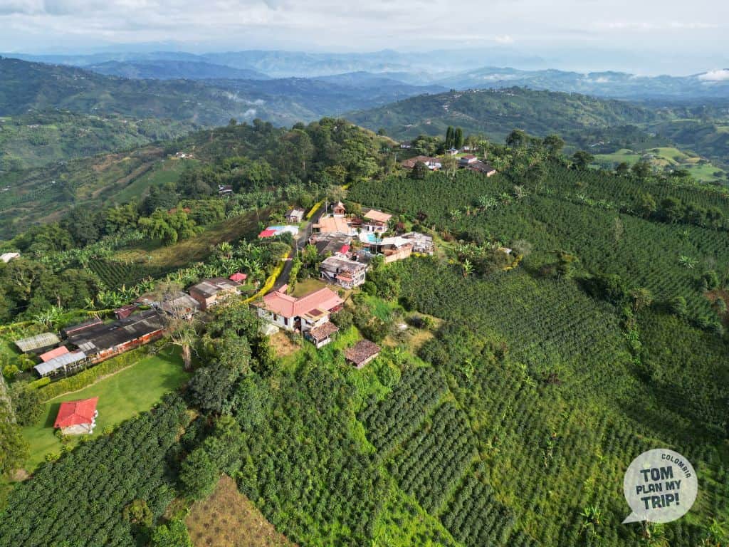
It is also the birthplace of Colombian coffee, with the Eje Cafetero and its Coffee Cultural Landscape classified by UNESCO since 2011: a hilly and green landscape, a mild climate, typical colonial architecture, and a warm cultural identity.

The largest of the three Andean branches extends from the Almaguer knot to the Venezuelan border. Separated from the Central Cordillera by the Magdalena Valley, it is the only one that feeds the basins of the Amazon, the Orinoco, and the Catatumbo. Its highest point, Ritacuba Blanco (~5,330 m), is the 3rd highest peak in the country.
Here, the geography of Colombia presents two faces: in the south, the high plateau of the Bogotá savanna; in the north, the Sierra Nevada del Cocuy, the largest glacial massif in Colombia, with 18 peaks beyond 5,000 m and an iconic fauna (condor, spectacled bear, jaguar).
Cordillera of greater economic weight in the country, it extends from the rural and authentic plateaus of Boyacá to the canyons of Santander, up to the icy peaks of Cocuy.

The closest to the Pacific and the lowest of the three Andean branches (~2,700 m average altitude), it stretches over 1,200 km, from the Los Pastos knot to the Paramillo knot, where it splits into three branches.
Separated from the Central Cordillera by the Cauca and Patía valleys, it is a natural border between the Pacific region and the rest of the country. Its highest point is the Cumbal volcano (4,764 m).
The only Colombian mountain range without eternal snows, it opens onto the coffee region on its eastern flank, while its western flank plunges into the Chocó jungle, renowned for its exceptional biodiversity.
The wildest and least urbanized of the three, it stretches from Cali, a large festive metropolis, to the Andean heights of Cumbal, near the Ecuadorian border, passing through rural Cauca and the isolated jungle of Afro-Colombian Chocó.
The most populated region of the country (70-75% of Colombians), the Andean zone is home to its three largest cities: Bogotá, Medellín and Cali.
Two rivers born in the Colombian Massif, the point of convergence of the three Andean mountain ranges in the south of the country, structure the territory — the Magdalena and the Cauca.
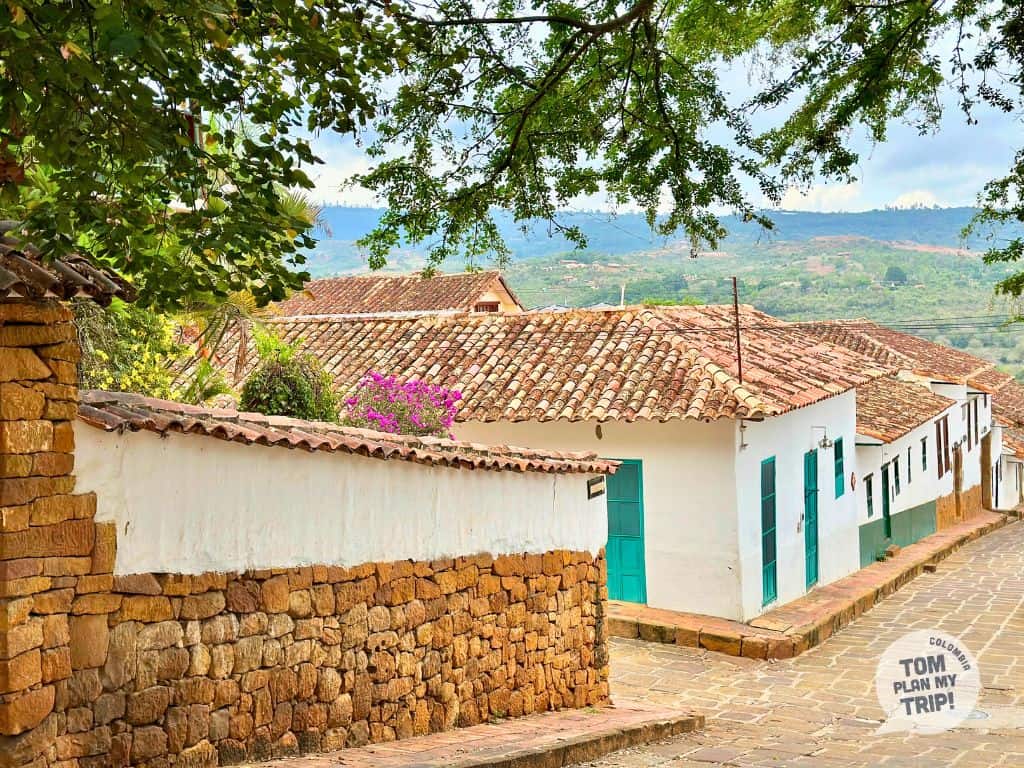
This is where the largest páramos in the world are located (Sumapaz, Chingaza) and charming colonial villages (Jericó, Guatapé, Barichara, Villa de Leyva, Salento) — it’s the setting for mythical treks: El Cocuy, Los Nevados, and Santa Isabel.
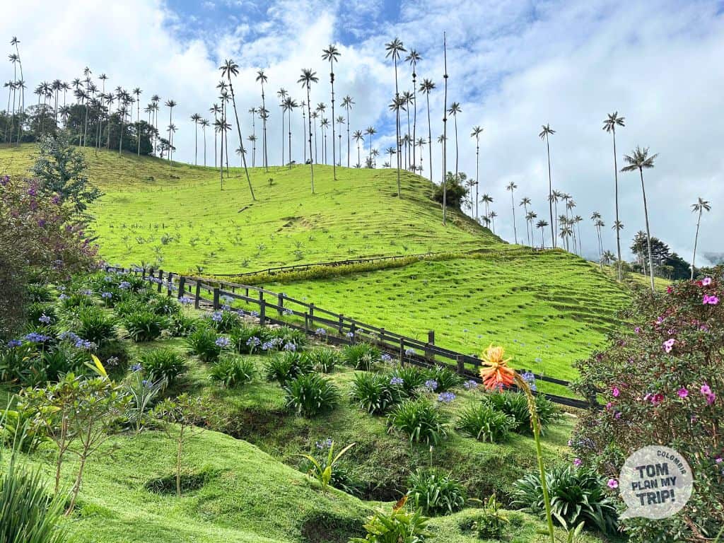
The mountain range is also about its culture, with its coffee fincas in the Coffee Triangle, thrilling experiences on the rapids of San Gil, relaxation in volcanic hot springs, or a hike among the wax palms of the Cocora Valley.

- Don’t expect to find highways; Colombia’s geography doesn’t lend itself to them.
- At high altitudes, the roads are winding, trucks drive slowly, and fog is common. Consider a car service with a driver, especially if you’re not used to driving in the mountains.
- Allow more time than the distance might suggest — e.g., Bogotá-Villa de Leyva (100 km): allow 3 hours.
- Favor the dry season for multi-day treks (December-March, July-August depending on the region) and plan for 48 hours of acclimatization before venturing into a páramo.
- Take a guide for challenging treks like El Cocuy. They are sometimes even mandatory.
- Book in advance in popular villages (Salento, Villa de Leyva, Barichara) during high season.
- Plan your visit around a local festival, if possible: it’s a great opportunity for immersion.
© Tomplanmytrip
THE PACIFIC COAST
A preserved corner of the world with exceptional biodiversity.
One of the most isolated corners of Colombia: this region of Chocó, on the northern Pacific coast, can only be reached by plane or boat from Buenaventura or Nuquí — no road leads there.
The tropical jungle plunges directly into the ocean, and a network of waterfalls with natural pools cascades from the Serranía del Baudó to the sea, under a hot and humid equatorial climate all year round.
Bahía Solano, a small urban center, serves as a logistical gateway thanks to its airport and dock, and contrasts with El Valle, a wilder beach village but culturally more bustling, renowned for its traditional music.
Here, two heritages blend: that of the Afro-Colombian community, predominant on the Pacific coast, and that of the Emberá, an indigenous people whose way of life remains closely tied to the rivers and the forest.


Nestled in the Gulf of Tribugá, 40 km south of Bahía Solano, Nuquí is another entry point into deep Chocó.
No road leads there; Nuquí is accessible via its airport, which offers regular flights with Medellín, or by boat.
Thanks to its dock (muelle), the village is essentially a passage point to the surrounding villages — Coquí, Guachalito, Termales, Arusí, Punta Brava — 35-50 minutes by boat, often landing directly on the beach, where you will discover all the authenticity and wild beauty of Chocó.
The tropical forest directly meets the ocean, on vast black sand beaches. Little network, only a few ecolodges, but in a paradisiacal setting and far from everything. In short, a dream for those who want to venture and get lost in one of the world’s richest territories in biodiversity.


Unlike Bahía Solano or Nuquí, Buenaventura is easily reached by road from Cali. The country’s main port, it is a strategic city for Colombian international trade.
The city extends over the island of Cascajal, under a tropical climate among the most humid in the world, surrounded by mangroves and two bays, including Málaga, a sanctuary for whales.
National economic engine, it is nevertheless one of the poorest cities in Colombia, with safety requiring caution. Do not sleep there and go directly to the port by taxi.
Most travelers only pass through to reach the beaches of Juanchaco or Ladrilleros, or the San Cipriano reserve, a birdwatching site — via the Muelle Turístico, the safest and most frequented area.
Stretching over 1,300 km, between the Chocó, Valle del Cauca, Cauca, and Nariño, the Pacific coast is almost cut off from the rest of the country — only Buenaventura, Tumaco, and Quibdó are connected by road.
This is where Bahía Solano, El Valle, as well as Nuquí and its surrounding villages — Guachalito, Coquí, Termales — are nestled, remote havens where you can enjoy treks in the heart of nature, surfing, encounters with local communities, and an immersion in a deep and wild Chocó.
A little further south, Guapi opens the door to Gorgona Island, a sanctuary of biodiversity, while offshore, Malpelo offers its spectacular depths to seasoned divers.
Between the national parks, the San Cipriano reserve, and the dense jungle, the wildlife is exceptional: humpback whales (in season), sea turtles, sharks, jaguars, toucans.
This spectacular nature is complemented by a strong cultural identity, carried by the Afro-Colombian and indigenous communities, between ancestral traditions and renowned gastronomy.


- Get the yellow fever vaccine (15 days before).
- Protect yourself from the sun (hat, biodegradable sunscreen, long sleeves) and bring a biodegradable repellent.
- Avoid tap water — bring a water bottle — filtered fountains in the ecolodges.
- Bring cash, you won’t find ATMs.
- Travel light (backpack, waterproof covers) for flights and boat trips.
- Travel between villages is by boat, depending on the tide, often with a landing on the beach.
- Allow for extra time with flights: unpredictable weather, frequent delays — avoid an international connection on the day of return.
- Never venture alone in the jungle: a guide is recommended, if not mandatory.
- Bring boots (often provided by ecolodges) and pants — mud and roots make some trails challenging.
- Whale season: from July to October, with a peak in August — book your accommodation in advance.
- Take your trash with you.


© Tomplanmytrip
THE CARIBBEAN COAST
Between sea, lush vegetation, desert, and mixed heritage.
Here, the geography of Colombia has a unique feature: the Chocó is the only department bordering two oceans. Its Caribbean coast, a narrow strip of 130 km in the northwest, runs along Panama to the Darién, a dense and impassable jungle straddling the border.
Result: the region is isolated from the rest of Colombia by land — it can only be accessed by boat (Necoclí, Turbo) or by plane via Acandí.
Local life is concentrated in the villages of Capurganá, the heart of the region between fishing and discreet tourism, and Sapzurro, the last village 20 minutes on foot from Panama.
The sea is surprisingly clear from July to November, bordered by reefs and wild beaches, while the jungle plunges down to the sand.
End-of-the-world atmosphere, without cars, marked by a vibrant Afro-Colombian culture and a relaxed pace.


Cartagena is the capital of the Bolívar department, on the eastern Caribbean coast, about a hundred kilometers from Barranquilla.
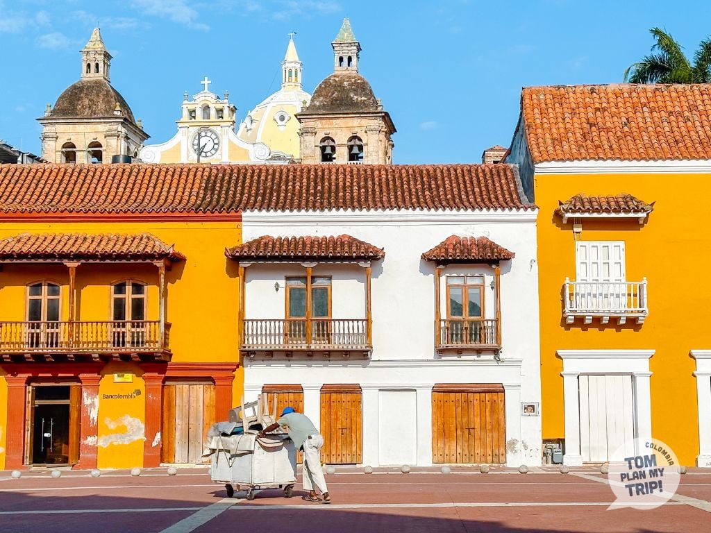
Its fortifications, erected by the conquistadors in the 16th-18th centuries and magnificently preserved, earn its historic center a UNESCO World Heritage designation and its nickname as the pearl of the Caribbean.
Superb colorful colonial facades, flowered patios, and cobbled streets make up all the charm of Cartagena, in a typically Caribbean atmosphere, lively and very touristic.
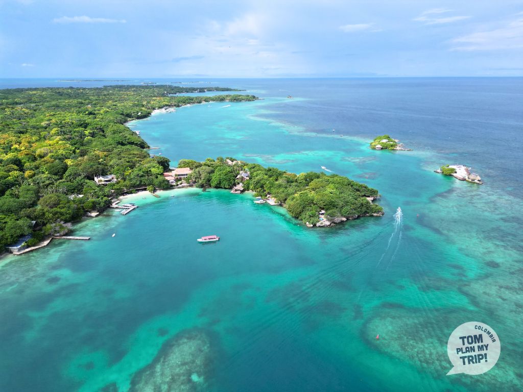
Offshore, less than an hour by boat, the Rosario Islands form a coral archipelago with a paradisiacal setting, with Isla Barú and Isla Grande being very popular, between relaxation, snorkeling, and cozy and upscale ecolodges.
Further south, about 2 hours by boat and off the coast of the typical village of Rincon del Mar, the San Bernardo archipelago offers a slightly more secluded atmosphere, with islands like Múcura or Tintipán, between white sandy beaches and turquoise waters.



Completely detached from the Andes mountain range, the Sierra Nevada de Santa Marta is the highest coastal range in the world, with Pico Cristóbal Colón reaching about 5,775 m, just 42 km from the Caribbean Sea.
Over these few kilometers, all the climatic zones follow one another, creating a mosaic of ecosystems — tropical rainforest, cloud forest, páramo, up to the eternal snows.
Drained by numerous waterways, this massif is an amazing water reserve that supplies the entire coast and a territory of exceptional richness in biodiversity and endemic species, classified as a biosphere reserve by UNESCO.
The Sierra also houses the Lost City, a pre-Columbian Tayrona city accessible by a trek. Four indigenous peoples, descendants of the Tayronas, still live here, who consider this land sacred and perpetuate ancestral rituals and knowledge.

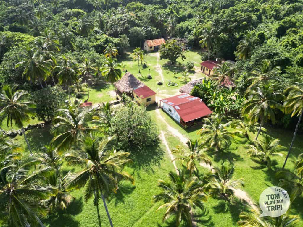
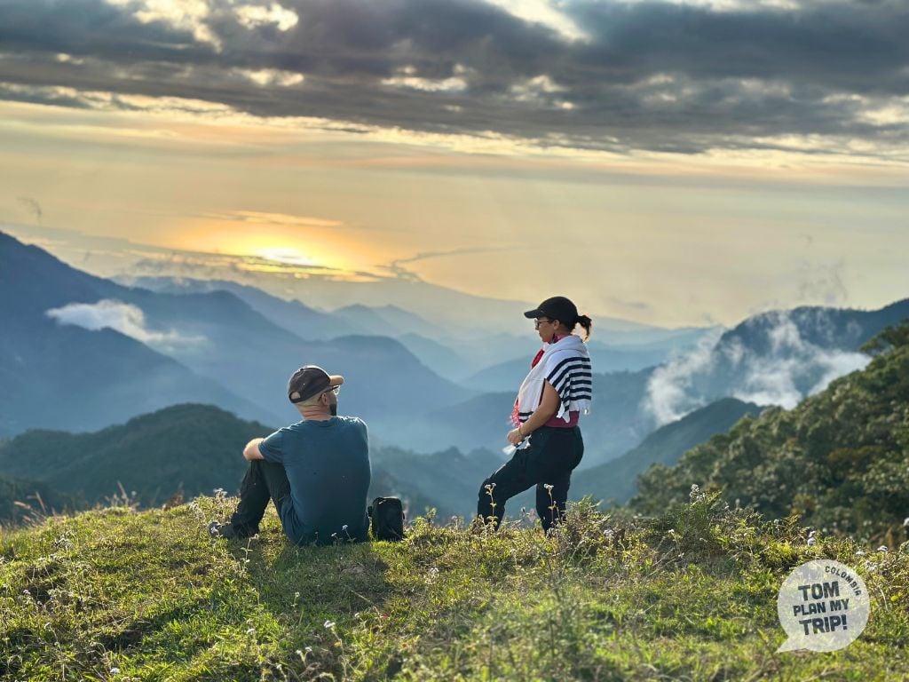

Over more than 1,000 km and 8 departments, the Colombian Caribbean coast offers a prodigious diversity of landscapes and an incomparable biodiversity.
The beautiful Cartagena captivates with its colonial architecture and paradisiacal islands; Barranquilla shines with its carnival; Santa Marta opens the door to the Tayrona park and its wild beaches, but also to the Sierra Nevada — coffee farms in Minca, bird watching, hiking, with the highlight being the Lost City trek.
Further west, Mompox, nestled in the bend of the Magdalena, charms with its timeless colonial atmosphere.
To the north, Riohacha opens the way to the La Guajira desert, where dunes and sea blend in one of Colombia’s most surprising landscapes, leading to the oasis of Macuira, the heart of the Wayuu culture — not to mention Cabo de la Vela, renowned for kitesurfing.
For relaxation, head to coastal villages like Palomino, for its tubing, or Dibulla, which is more preserved from tourism.


- In Tayrona, swim only on authorized beaches — the currents can be strong.
- The Tayrona Park closes 3 times a year (usually in February, June, and October).
- For La Guajira, forget cheap agencies: plan your trek with a reliable agency (difficult trails; good physical condition recommended).
- For Ciudad Perdida, a guide is mandatory — favor the dry season.
- Get the yellow fever vaccine (15 days before departure), recommended, or even required, depending on the site.
- Avoid tap water along the entire coast.
- Plan for cash, especially in Minca, Palomino, and Rincón del Mar, and withdraw in Riohacha before leaving for La Guajira.
- Avoid La Guajira in May and September-October (trails impassable due to rains).
- Plan ahead for the high season (Holy Week, June, mid-December to mid-January): Tayrona and Cartagena are crowded.
- Book months in advance for the Barranquilla Carnival (February/March).
- Cartagena is the most expensive city in the country – less costly during the rainy season (August-November).


© Tomplanmytrip
LOS LLANOS
Wild lands, abundant wildlife, and Llanero culture.
Casanare and Arauca are two departments that extend to the east of the Eastern Cordillera, in the basin of the Orinoco — a natural region also called Orinoquía: it is the heart of the flooded savanna of the Llanos.
From Bogotá, it’s just a 1-hour flight to reach Yopal, the capital of Casanare and the gateway to the Llanos — and completely change the scenery.
Here, the savanna stretches as far as the eye can see, interrupted by gallery forests and morichales — islets of moriche palms typical of the Llanos — that punctuate the horizon like green islands.
A geological fault explains this particularly unique geography of Colombia: the Casanare, located below the Meta, becomes flooded each year during the rainy season. The result: a territory that lives to the rhythm of the seasons, between dry plains and vast expanses of water.



The Meta and Vichada form a unique crossroads where the Andes, the Amazon, and the Orinoquía meet. Villavicencio, the capital of Meta, is only 90 km from Bogotá — it is the other gateway to the Llanos.
Unlike Casanare, these lands rarely flood. The Meta and Vichada largely rest on the altillanura, a raised plateau that is well-drained and remains dry all year round.
What is most striking here is the diversity: traveling through the Meta, you pass through all the levels: from the Andean páramo at 4,000 m, descending through the Piedemonte to the Llanos savanna, before reaching the Amazonian jungle in the south.
Further to the east, the Vichada extends to the Orinoco and Venezuela — vast, flat, sparsely populated, marked by rocky outcrops of the Guiana Shield akin to the famous tepuis, though not quite the same.

The Llanos are home to spectacular biodiversity.
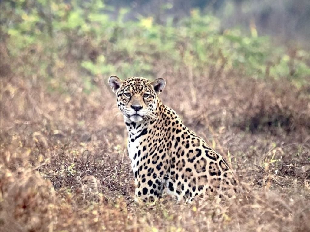
In this Colombian landscape made of grassy savannas, moriche palms, and gallery forests, you will easily encounter the capybara, the largest rodent in the world, as well as the tapir or the giant otter. With luck, you might spot a jaguar near water points during the dry season.
This is the ideal setting to observe animals.
In the flooded areas live the green anaconda and the very rare Orinoco crocodile. The region also has over 350 species of birds — scarlet ibis, jabiru, roseate spoonbill, macaws — offering an easy-to-observe spectacle.
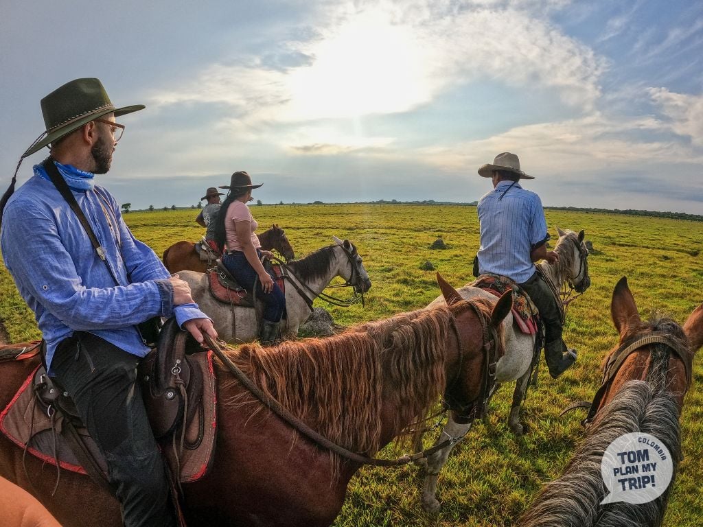
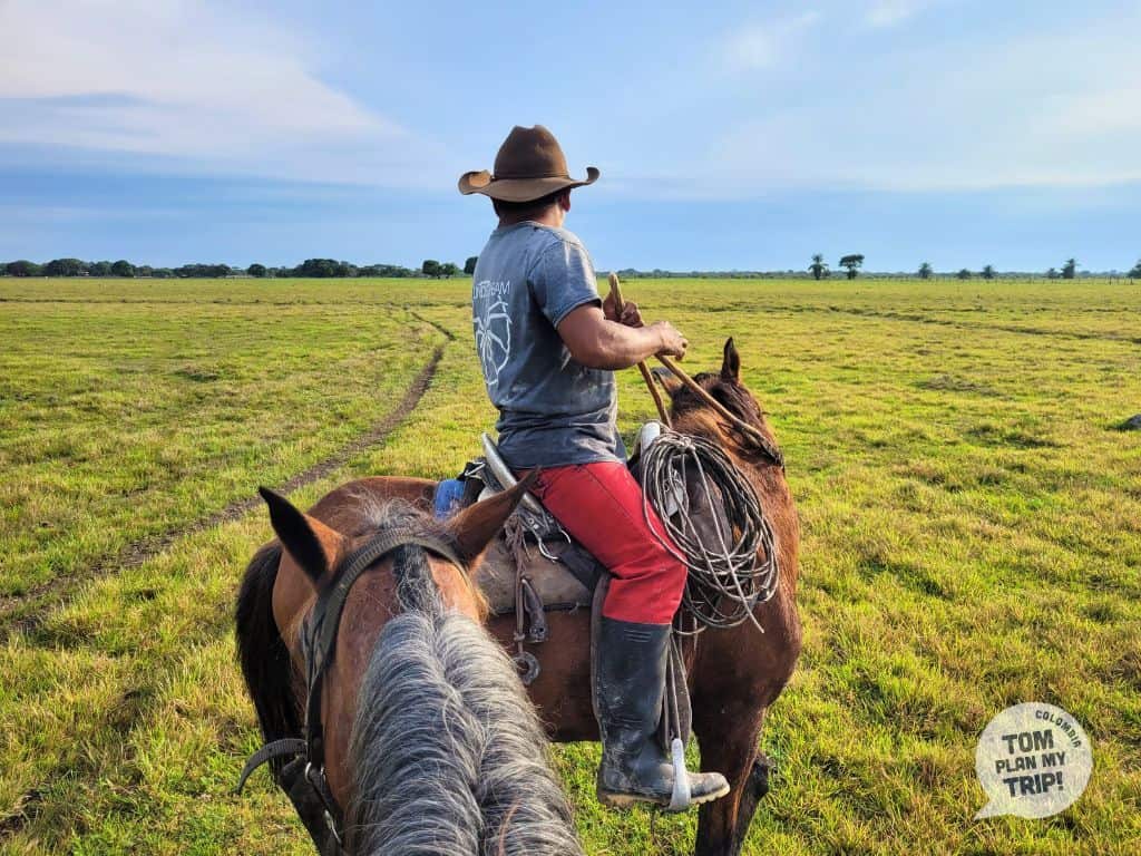
The Llanos also have a vibrant llanera culture, inspired by a South American cowboy lifestyle. In the hatos, these vast traditional ranch lands, you can explore the savannah on horseback, like a true llanero.
A culture celebrated in music, dance, and through a generous cuisine, inherited from the harshness of this way of life.


- Warm climate all year round (27-35 °C): plan for light and breathable clothing, a hat, and protection from the sun and mosquitoes.
- Llanero Safari (Casanare): the highlight experience, by 4×4, horseback, or canoe in the hatos. 3-4 days minimum.
- Dry season (Dec.-March): ideal for animal watching, with wildlife concentrated at water points.
- Caño Cristales (Meta): the “river of five colors,” accessible from June to November via La Macarena.
- Llanera culture: Stay in a hato to witness the work of llaneros on horseback and the traditional dances, and enjoy a mamona roasted over coals at sunset.
- Accommodation in hato: simple and authentic comfort – limited network, sometimes no air conditioning.
- Public transport is limited, the logistics are complex, and expert guidance makes all the difference — that’s exactly what we offer.


© Tomplanmytrip
THE AMAZON
Untamed nature at the edge of Colombian territory.
This is the natural region that is the most vast and the least populated in Colombia, representing nearly 42% of the national territory and covering 6 departments. No road leads there: it is only accessible by plane to Leticia, the capital of Amazonas, bordering Brazil and Peru, or by river.
This immense territory is covered with a thick tropical rainforest crossed by the Amazon and its tributaries (Caquetá, Putumayo).
Here, the seasonality differs from the rest of Colombia: the Amazon lives to the rhythm of the river. In high waters, the flooded forest is explored by boat; in low waters, the banks and beaches resurface; the forest becomes accessible on foot again. The climate remains hot and humid all year round.
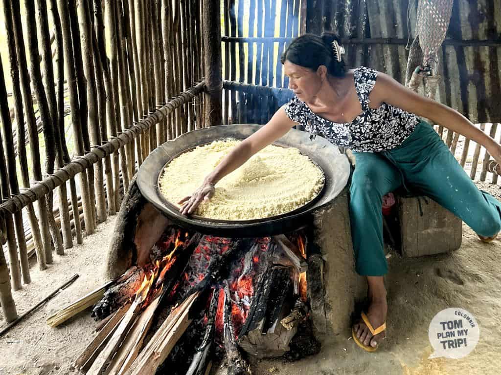
The indigenous communities (Tikuna, Huitoto, Yagua…) perpetuate a traditional way of life, intimately linked to the river.



In the department of Guainía, at the borders of the Amazon and Orinoco regions, Colombia’s geography reveals a spectacular landscape: the Mavecure Hills, three monoliths of black granite billions of years old.
Only the Mavicure (170 m) can be climbed. From its summit, the view is stunning: a 360° panorama of the Amazonian jungle as far as the eye can see, with the río Inírida winding below and the other two stone giants emerging from it.
No road serves the region. Access to Mavecure is an adventure in itself: plane to Inírida (1 h 30 from Bogotá), then up the río Inírida by boat (from 1 h 30 to 3 h).
These geological formations, among the oldest on the planet, are a sacred site for the local indigenous communities who guard access.


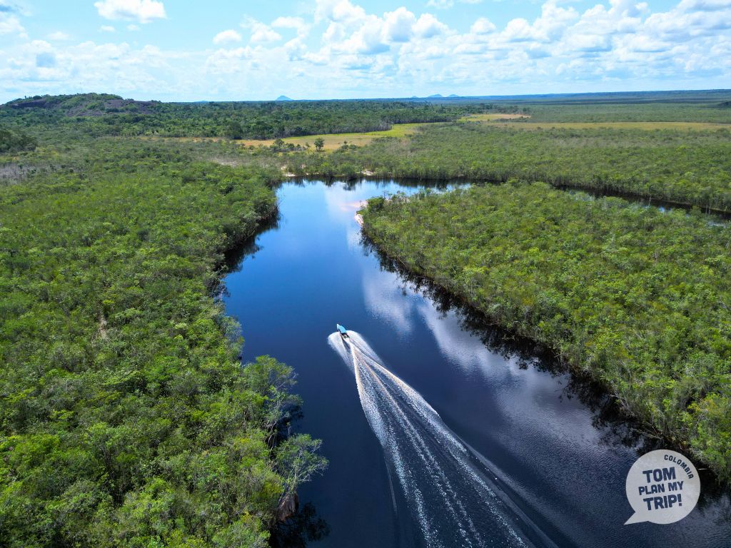
At the junction of the Llanos and the Amazon, Guaviare is home to a fascinating and until now very little explored Colombian landscape, at the gates of the Chiribiquete National Park — an archaeological and natural sanctuary classified by UNESCO, closed to the public.
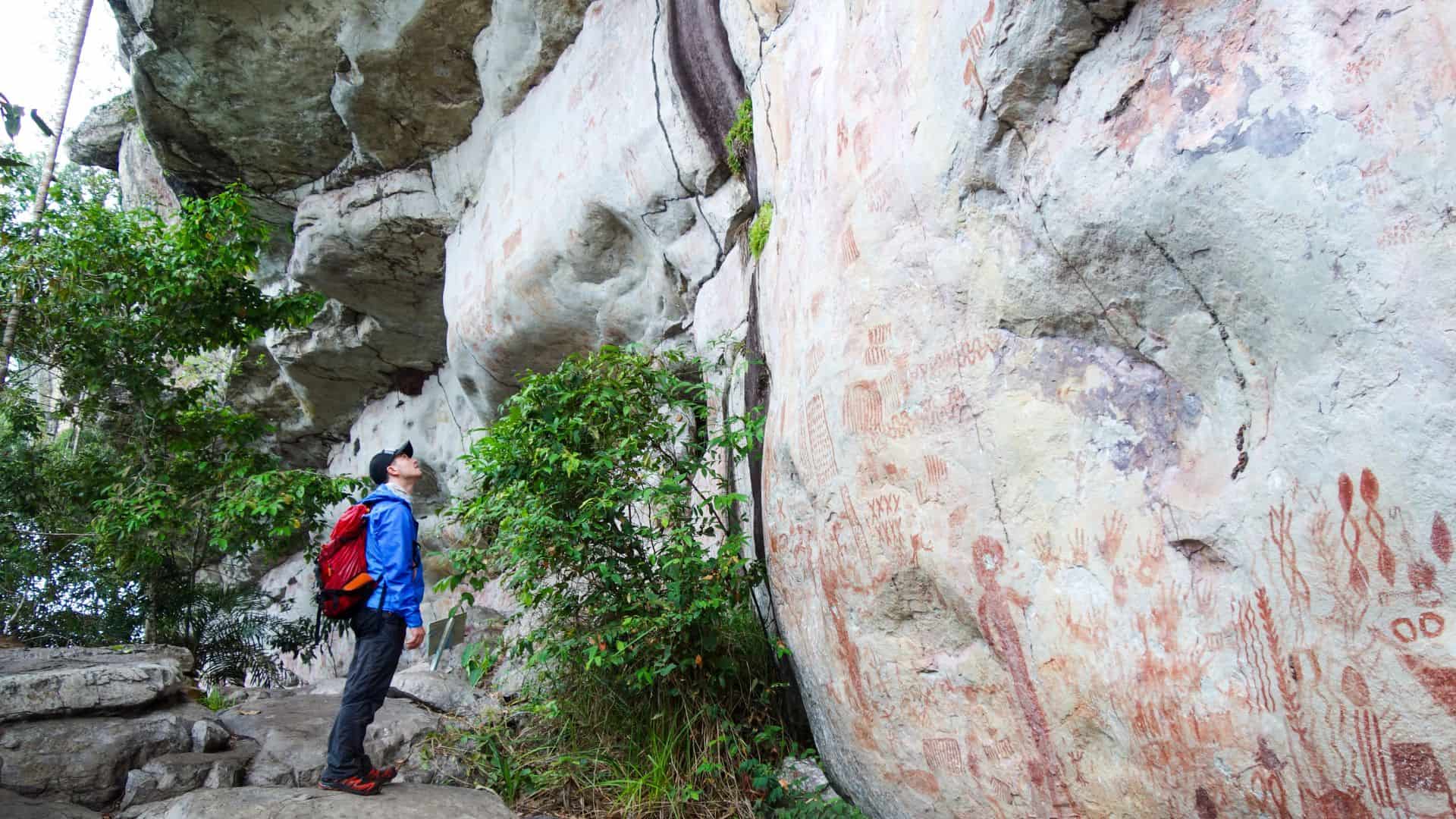
But you can explore the Serranía de La Lindosa, a landscape just as spectacular with some of the oldest rock formations on the planet: Ciudad de Piedra, stone labyrinths, and Cerro Azul, with its magnificent ancient rock paintings. On the bare rock cling orchids and sparse vegetation, while a dense jungle stretches all around.
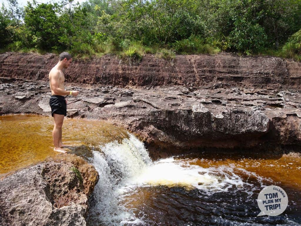
Rapids of the Guayabero River, waterfalls, rivers with multiple colors reminiscent of Caño Cristales: an amazing landscape, in an atmosphere that remains raw and authentic, deeply rooted in the llanero and indigenous culture — perfect if you love going off the beaten path.


The region is home to an exceptional biodiversity: pink dolphins, monkeys, anacondas, and more than 400 species of birds.
From Leticia, go on a trek in the jungle or head to Puerto Nariño to meet the indigenous communities.
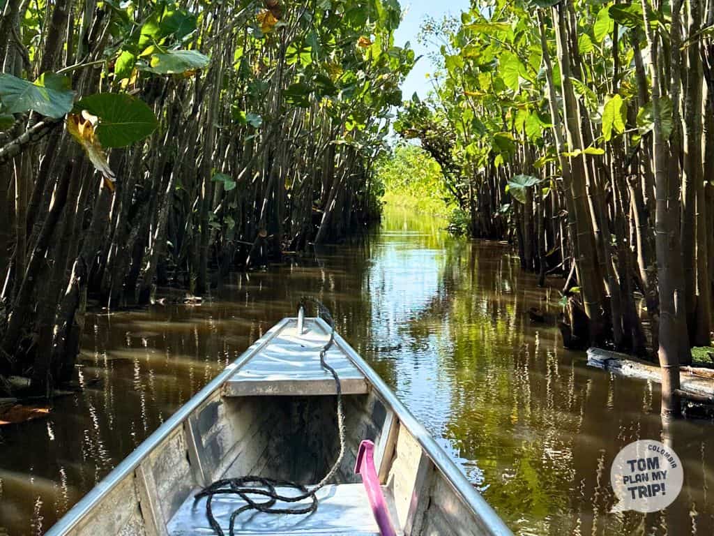
With a local guide, discover the Amazonian jungle, the giant ceibas, iconic trees filled with indigenous legends, and watch for the animals; the more adventurous can bivouac in the forest. In the season of high waters, explore the flooded jungle by canoe. At night, watch for caimans with a flashlight and the fleeting bloom of the world’s largest water lily.
Further north, go up the río Inírida to the Mavecure Hills: swim in the creeks, climb the Mavicure to admire the sunset and share the life of the local indigenous community.
In Guaviare, explore the Serranía de la Lindosa in search of its rock paintings


- Get the yellow fever vaccine (at least 15 days before departure) and make sure your other vaccines are up to date.
- It’s better to be in good physical condition; the environment is demanding for the body.
- Bring a mosquito repellent and protect yourself from the sun: hat, pants, and long sleeves. Note: sunscreen, even biodegradable, is sometimes prohibited.
- Appropriate shoes and light rain gear.
- Withdraw all your budget in cash (consider extras) before leaving.
- A regular flight connects Bogotá to Leticia (1h45-2h) – coordinate with your departure for the jungle or plan a night in Leticia.
- Leave with a backpack and avoid overloading it. Bring waterproof bags for humidity.
- Do not touch the flora or fauna and take your trash with you.
- Stay in an ecolodge deep in the jungle for an unforgettable stay — comfort sometimes basic.
- Go through a trusted agency – essential in this region.


© Tomplanmytrip
THE ARCHIPELAGO OF SAN ANDRÉS AND PROVIDENCE
Two atmospheres, one unique culture, a bustling marine life.
With its 26 km² seahorse shape, San Andrés is the largest island of the archipelago — an elevated coral atoll that its international airport connects to Bogotá in about a 2-hour flight.
Since 1953, its status as a free port has transformed the island into a tourist and duty-free commercial hub, densely built with hotels and infrastructure, to the point of gradually damaging its original raizal identity. La Loma, a neighborhood perched on the island’s highest point, still holds much of its heritage: Anglo-Caribbean wooden architecture and community life.
Its waters are home to the world’s third-largest coral reef in the northwest, and the surprising Hoyo Soplador in the south, a natural marine geyser.
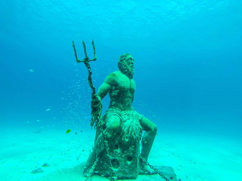
90 km north of San Andrés (15-25 min by flight or 2 h 30 by catamaran), Providencia offers a radically different setting. From a geographical point of view, it is a rugged volcanic island, with three peaks reaching 360 m, including El Pico.
El Puente de los Enamorados, accessible only by foot, connects the island to its small neighbor Santa Catalina, a former pirate hideout.
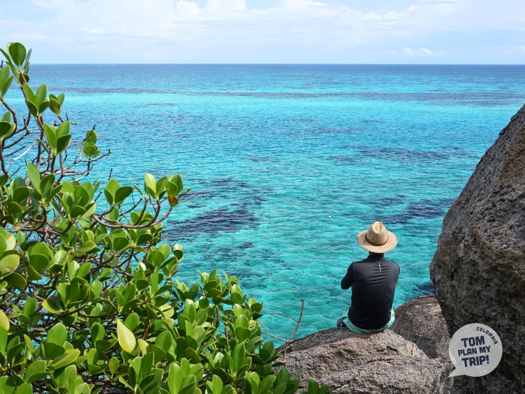
Both host a preserved tropical dry forest and, offshore, stretches a 32 km coral reef, the largest in Colombia.
Here, the atmosphere contrasts radically with San Andrés: no mass tourism, nor large hotel complexes, but colorful wooden houses, an intact raizal identity (70-80% of the population), and an authentic, preserved, and peaceful atmosphere.

The geography of Colombia also includes underwater treasures: this archipelago is a paradise for snorkeling and diving enthusiasts. In waters with exceptional visibility, you will encounter stingrays, nurse sharks, and schools of multicolored fish, amidst reefs that contain more than three-quarters of the country’s reef surface.
The tropical dry forest, a remnant ecosystem and biodiversity hotspot, is home to endemic birds and offers an unusual natural event each year: the great migration of black crabs, from April to July, to the sea.
The archipelago lives to the rhythm of the raizal culture, a unique English-speaking Afro-Caribbean identity in Colombia, inherited from puritan settlers and pirates. You will hear Anglo-Caribbean Creole spoken and sway to the sound of reggae and calypso — a vibrant culture also found in the local culinary specialties.

- Consider the cyclone and sargassum seasons.
- Plan for 2-3 days in Providencia (a week if you dive).
- Budget for the mandatory tourist tax (~124,000 COP).
- Enjoy water temperatures of 27-29°C year-round and visibility of 30 m or more for snorkeling or diving.
- In San Andrés, rent a golf cart to explore the island at your own pace. If you like shopping, take advantage of the duty-free.
- On Providencia, hike to El Pico for a panoramic view of the island and reefs.
- Walk across the Puente de los Enamorados to Santa Catalina for lunch at a hidden restaurant.
- Try a local dish, like the rondón, an iconic raizal dish, or crab soup.
- Bring a biodegradable sunscreen, essential for preserving the reefs.

© Tomplanmytrip
The Geography of Colombia: Incredible Landscapes
From the icy peaks of the páramos to the golden dunes of the La Guajira desert, from the cloud forests bathed in mist to the Caribbean coral reefs, Colombia’s landscapes seem to extend infinitely, each shaped over time by the combined effects of terrain and climate, and even by the hand of man.
The Chicamocha canyon or the tepuis of Mavecure are the raw products of nature; the coffee valleys of the Eje Cafetero owe their appearance to a centuries-old economic activity.
Here is the extraordinary palette of Colombia’s landscapes, which, believe me, will never cease to amaze you.
TOM’S ADVICE
Think about taking a look at our article on the natural regions of Colombia and our Inspiration page to get an overview of the extraordinary diversity of this country, and don’t hesitate to reach out to us to organize your adventure!

The Landscapes of Colombia: A Unique Mosaic
An overview of the landscapes that make up the natural wealth of Colombia.
1. The páramo

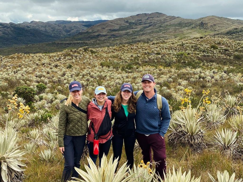
It’s impossible to talk about the geography of Colombia without stopping at the páramo, this equatorial alpine biome located between 3000 and 4700 meters, which exists only in a few regions of the globe. Colombia contains most of it.
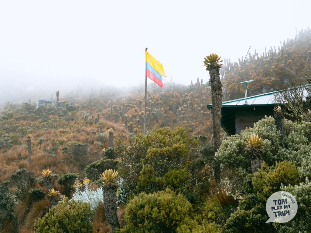
Here, tufted grasses and cushion plants create an almost lunar landscape, dominated by the emblematic frailejón, a tree-like plant endemic to the northern Andes.
With very slow growth (1 cm per year), it is recognizable by its thick trunk crowned with thick, silvery white, downy leaves that protect it from the harshness of the climate.
Isolated, the frailejón evokes a human silhouette in the mist, hence its name, “little monk”; gathered by the hundreds, between young shoots and centenarian specimens several meters high, they create a magical landscape on the slopes of the páramo.
The páramo of Sumapaz, at the gates of Bogotá, is the largest in the world. Further north, Ocetá and El Cocuy are among the most beautiful landscapes in Colombia.
2. Glaciers and los nevados

Colombia is home to snow-capped peaks (“nevados”) above 4700 meters.
The Sierra Nevada del Cocuy, in the eastern cordillera, the Nevado del Ruiz, and the Nevado del Tolima, all in the Los Nevados Park, are among the most iconic, with their eternal snows dominating páramos and Andean valleys.
Most are peaks of the cordillera or ancient volcanoes, some of which are still active, like the Nevado del Ruiz.
These giants of ice and volcanic rock offer some of the most impressive panoramas of Colombia’s geography: at this altitude, in a spotless white, the cold is dry and intense, and the weather can shift very quickly between bright sunshine and fog.
In strong decline due to climate change, the country has already lost nearly 90% of its glacial surface in a century and a half, and the remaining glaciers could disappear within two to three decades.
3. The Cloud Forest – el bosque de niebla
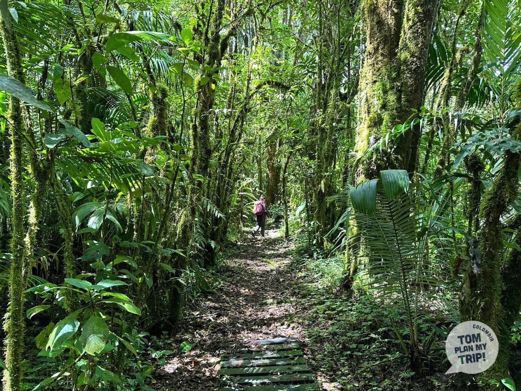
Another facet of Colombia’s geography: the cloud forest, or “bosque de niebla“, an intermediate level of the Andes, located between the páramo and the Andean forest, between 1000 and 3500 meters, where the mist is almost permanent.
You can observe beautiful examples in Quindío, around Salento, as well as in the surroundings of Manizales, in Caldas. The trees, with trunks and branches covered in mosses, orchids, and wild pineapples (bromeliads), form a dense canopy sheltering many birds, including several species of hummingbirds.
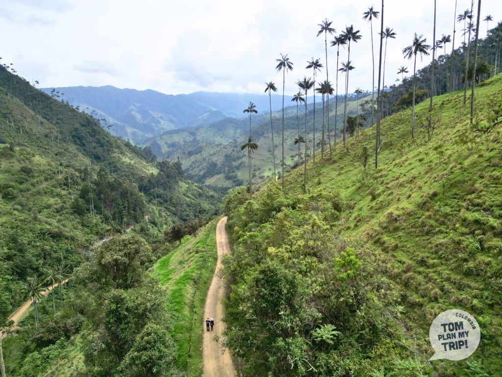
It is here, in the Cocora Valley, near Salento, that the famous wax palms grow.
The constant humidity that prevails in these forests makes it a vast reservoir of water feeding some of the most important rivers in the country.
A misty and vegetative landscape of Colombia, with an enchanting atmosphere.
4. THE Coffee Valleys and THE Cultural Landscapes
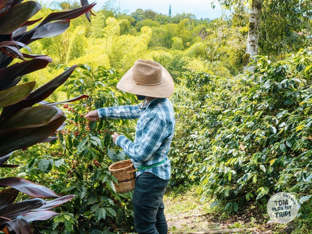
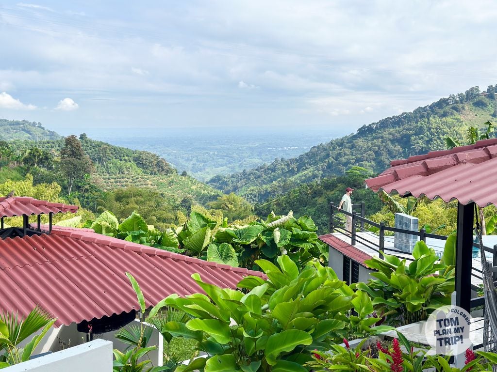
The geography of Colombia also includes landscapes shaped by humans, such as the coffee valleys and their Paisaje Cultural Cafetero, recognized by UNESCO in 2011.
In the departments of Caldas, Quindío, Risaralda, and Valle del Cauca, at an altitude between 800 and 1800 meters, stretches a landscape of green hills with a gentle shape, dotted with coffee fincas, where the majority of the country’s coffee production is concentrated.
Between 1500 and 3000 meters in altitude, near Salento, the Cocora Valley is home to the world’s tallest palm trees: the wax palm, a native species now protected, with some specimens that can exceed 60 meters in height.
Their long, slender silhouettes rise above the green meadows, often shrouded in a morning mist. A Colombian landscape as spectacular as it is bucolic.
5. the Rainforest / the Amazon Forest

The rainforest is another of Colombia’s most emblematic landscapes. It covers nearly 40% of the national territory, between the Amazon and the Pacific Chocó.
A green, dense, hot, and humid world, renowned for its biodiversity, among the richest on the planet, and watched over by indigenous communities with ancestral traditions that are still very much alive.
In the northwest of the Amazon rainforest, between the Amazon and Los Llanos, in the departments of Caquetá and Guaviare, lies the Serranía de Chiribiquete, the largest natural park in Colombia.
Its landscape is dominated by tepuis, rocky plateaus with steep walls that abruptly rise above the dense rainforest. On their walls unfolds one of the largest collections of rock art in the world.
The park is closed to the public; you can explore this amazing landscape and admire similar rock paintings nearby, in the Serranía de La Lindosa.
6. the Desert and Arid Zones
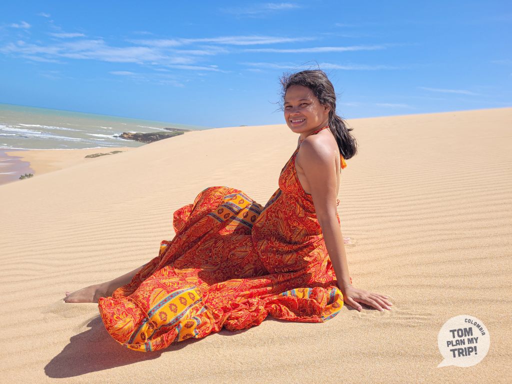
Another striking component of Colombia’s geography: its arid zones with two very distinct atmospheres.
In the north of Colombia, the La Guajira desert, sacred land of the Wayúu people, offers a rare landscape where the dunes dive into the Caribbean Sea, in a palette of yellows and blues.
In the heart of this aridity, a miracle of nature: an oasis of greenery, the Serranía de la Macuira with its humid microclimate.
Conversely, in Huila, the Tatacoa Desert reveals a tormented relief of ocher and gray canyons, sculpted by erosion.
If La Guajira is a desert in the strict sense, the Tatacoa only has the appearance of one due to its eroded relief and visual aridity. Its climate, more humid than that of La Guajira but still dry, classifies it, from an ecological standpoint, as a dry tropical forest.
This lunar landscape is renowned for stargazing, thanks to its clear sky, low humidity, and absence of light pollution.
7. the Savannas and Los Llanos

The geography of Colombia takes on a completely different aspect with Los Llanos: these vast tropical savannas, shaped by the Orinoco River system, extend notably in the Casanare.
Each year, the rainy season floods these plains, creating a shifting landscape of grasslands and gallery forests. In the dry season, the water recedes, giving way to vast expanses of short grass where the cattle of the hatos graze, around rare water points where the wildlife gathers morning and evening.
Further south, in the Meta, the river Caño Cristales, nicknamed “rainbow river,” offers a unique spectacle: its rocky bed is adorned with red, yellow, green, blue, and black thanks to an endemic plant, Macarenia clavigera — the park is only open from June to November.
One of Colombia’s most photogenic landscapes.
8. the Mangroves
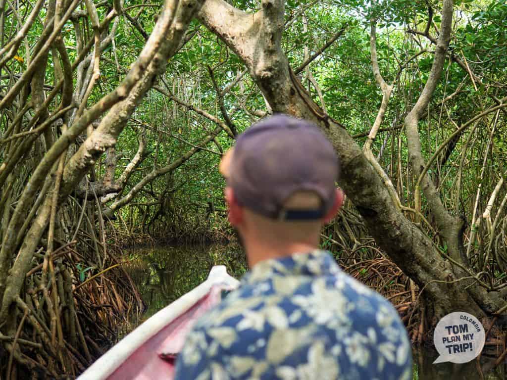
Another essential component of Colombia’s geography: the mangrove. This tropical coastal ecosystem, represented by the mangrove tree, a tree growing in brackish waters.
The mangrove creates a dense vegetative landscape, where the aerial roots of the mangrove trees, shaped like stilts, intertwine and sink into the mud along the rivers.
Both of Colombia’s maritime facades are bordered by these amphibious forests.
On the Pacific, in Bahía Málaga, in the Utría park or in Coquí, where the mangrove is particularly remarkable, some specimens, sometimes exceeding 30 meters, are among the tallest in the world.
On the Caribbean, in Rincón del Mar, at Isla Múcura or at La Boquilla, near Cartagena, the vegetation cover is lower, but just as vital for the coastal balance.
Buffer zones between land and sea, mangroves protect the coastline from erosion, store carbon, and serve as a nursery for a multitude of marine species.
A Colombian landscape to explore by canoe.
9. Coral Reefs and Marine Life

The ocean floor is another feature of Colombian geography: 4,405 km² of coral reefs, 79% of which are concentrated in the Caribbean, the rest in the Pacific.
The San Andrés and Providencia Archipelago contains the majority of these formations, including the 3rd largest coral reef in the world, designated a biosphere reserve by UNESCO.
Dozens of species of corals, an abundance of algae, and marine seagrasses host a fabulous animal biodiversity (sharks, turtles, colorful fish), in a gradient ranging from turquoise blue to deep blue.
Reefs also exist in the waters of Cartagena (Islas del Rosario) or at Tayrona, without competing with the richness and diversity observed around San Andrés and Providencia.
Although protected and generally in good health, this underwater sanctuary is a fragile landscape in Colombia facing coral bleaching due to warming waters and hurricanes.
Except for the archipelago of San Andrés and Providencia, as well as Gorgona and Malpelo in the Pacific, the marine life is not among Colombia’s strong points.
10. The Beaches
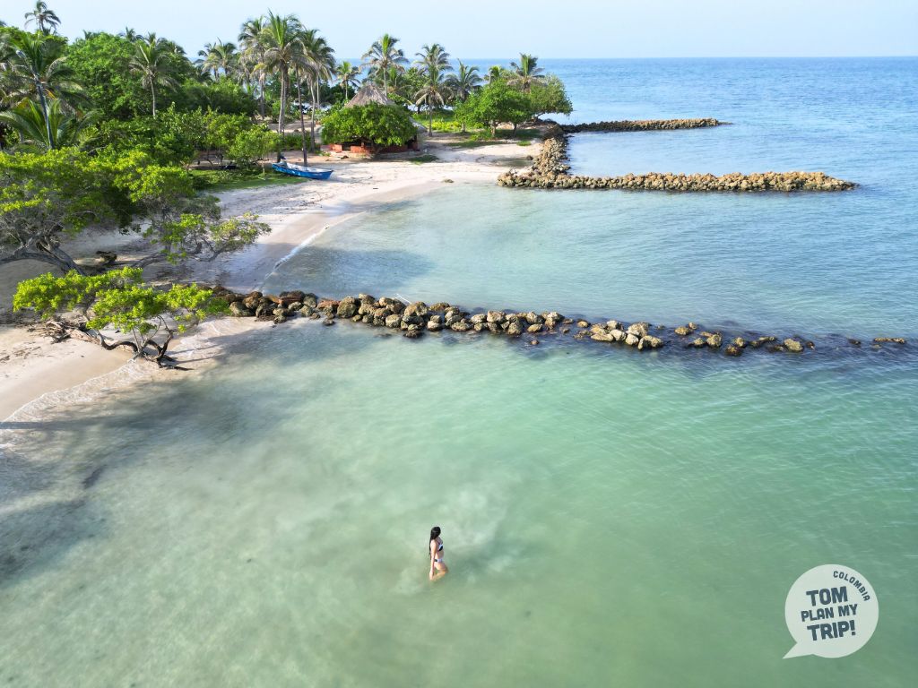
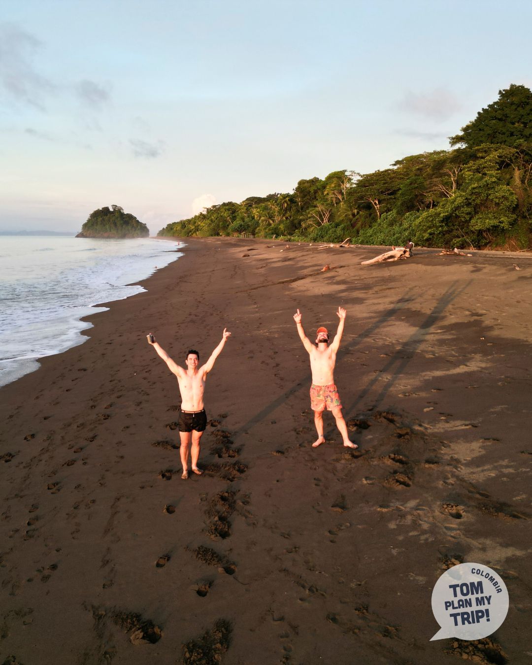
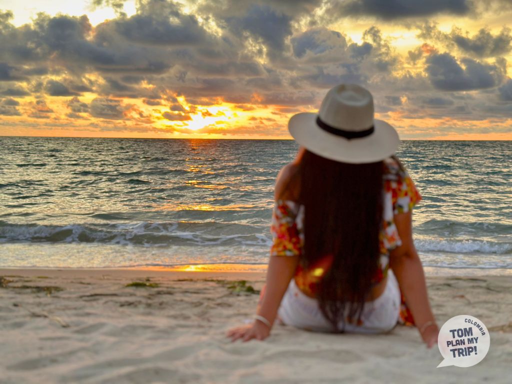
The beaches add to the extraordinary diversity of Colombia’s geography.
On the Pacific coast, at Nuquí or Bahía Solano, stretch vast beaches of volcanic black sand, bordered by jungle and isolated — accessible only by boat and preserved from mass tourism. A landscape I find infinitely romantic.
On the Caribbean coast, finding a paradisiacal and natural beach is not easy: rampant urbanization around Barranquilla, Santa Marta and Cartagena, coastal erosion, overcrowding that can ruin the magic (Playa Blanca, Isla Barú).
In the Rosario Islands, the water is turquoise, but don’t expect to necessarily find the white, fine sandy beach of your dreams. Due to the coral origin of the archipelago, some beaches are scattered with coral debris, less soft under bare feet.
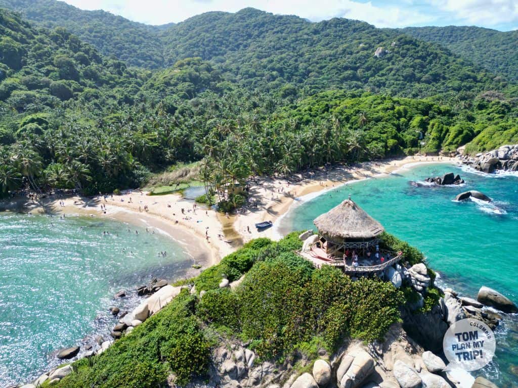
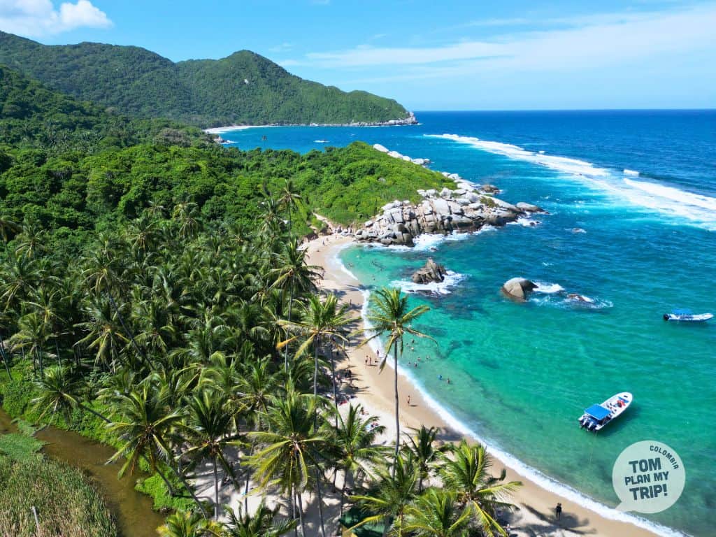
The Tayrona Park is home to lovely gems (Cabo San Juan, La Piscina, Playa Cristal), and the Archipelago of San Bernardo, off the coast of Rincón del Mar, hides beaches of great beauty, still unspoiled.
11. the Canyons and the eroded landscapes
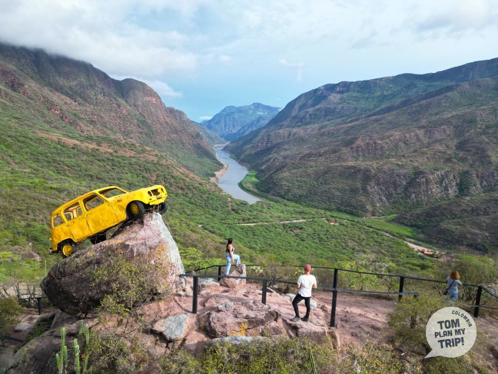
The canyons give a spectacular dimension to the geography of Colombia.
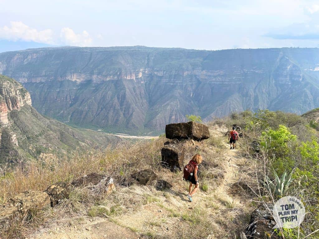
Located in the eastern cordillera, the Chicamocha Canyon runs through Boyacá and Santander for 227 km, with a maximum depth of 2000 m.
This second largest canyon in the world is born from the meeting of the río Chicamocha, originating in the Sierra Nevada del Cocuy, and the río Suárez, whose source is in the Laguna de Fúquene, between Cundinamarca and Boyacá. Together, they form the río Sogamoso.
The Chicamocha canyon as a whole is therefore the convergence of two canyons, Chicamocha and Suárez.
Of striking beauty, between mineral aridity and lush vegetation, this territory of the Guane people is explored on foot by taking the caminos reales or Lengerke paths.
In Antioquia, the río Cauca has carved an equally impressive canyon. Not far from the colonial village of Jericó, the viewpoints of La Mama or La Soledad offer a view plunging into dizzying gorges.
12. Rivers and Streams
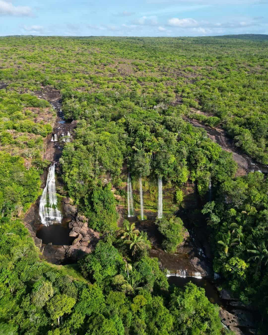


Watercourses play an essential role in the geography of Colombia.
The Magdalena (about 1550 km long), the country’s main river, originates in the Colombian Massif and crosses the country from south to north to the Caribbean.
A communication route for the indigenous people, then a vital artery upon the arrival of the Spanish colonists, it declined after the opening of the Panama Canal in 1914. Gabriel García Márquez mentioned it many times in his work; on its banks, Mompox bears witness to its golden age.
In the Llanos, the Tuparro joins the Orinoco at the Maypures rapids: the riverbed narrows between huge rocks, creating spectacular rapids in the heart of the Parque Nacional Natural El Tuparro (Vichada).
Caño Cristales, in the Sierra de La Macarena (Meta), owes its fame to an endemic aquatic plant, Macarenia clavigera, which colors the riverbed with bright colors — hence its nickname “river of five colors”.
Further east, in Guainía, the río Inírida flows into the río Guaviare, which in turn joins the Atabapo and the Orinoco: their confluence forms the Estrella Fluvial de Inírida, a mosaic of clear and sedimentary waters, at the gates of the cerros de Mavecure.
Finally, the mythical river Amazon borders Colombia for about a hundred kilometers, at the extreme south of the country. The main communication route through the jungle, its 10-meter tidal range paces the life of indigenous communities.
13. The Tepui


In the department of Guainía, three monoliths of black granite rise from the jungle and are among the most spectacular wonders of Colombia’s geography: the cerros de Mavecure: Pajarito (712 m), Mono (480 m), and Mavicure (170 m).
They are remnants of the Guiana Shield, one of the world’s most ancient geological formations. Almost devoid of vegetation due to a lack of soil, they emerge, smooth and dark, on the edge of the río Inírida.
From the summit of Cerro Mavicure, the only accessible one, you discover a breathtaking panorama of its two neighbors and the vastness of the surrounding green jungle.
The indigenous communities of this sacred land are the guardians of these strange geological formations.
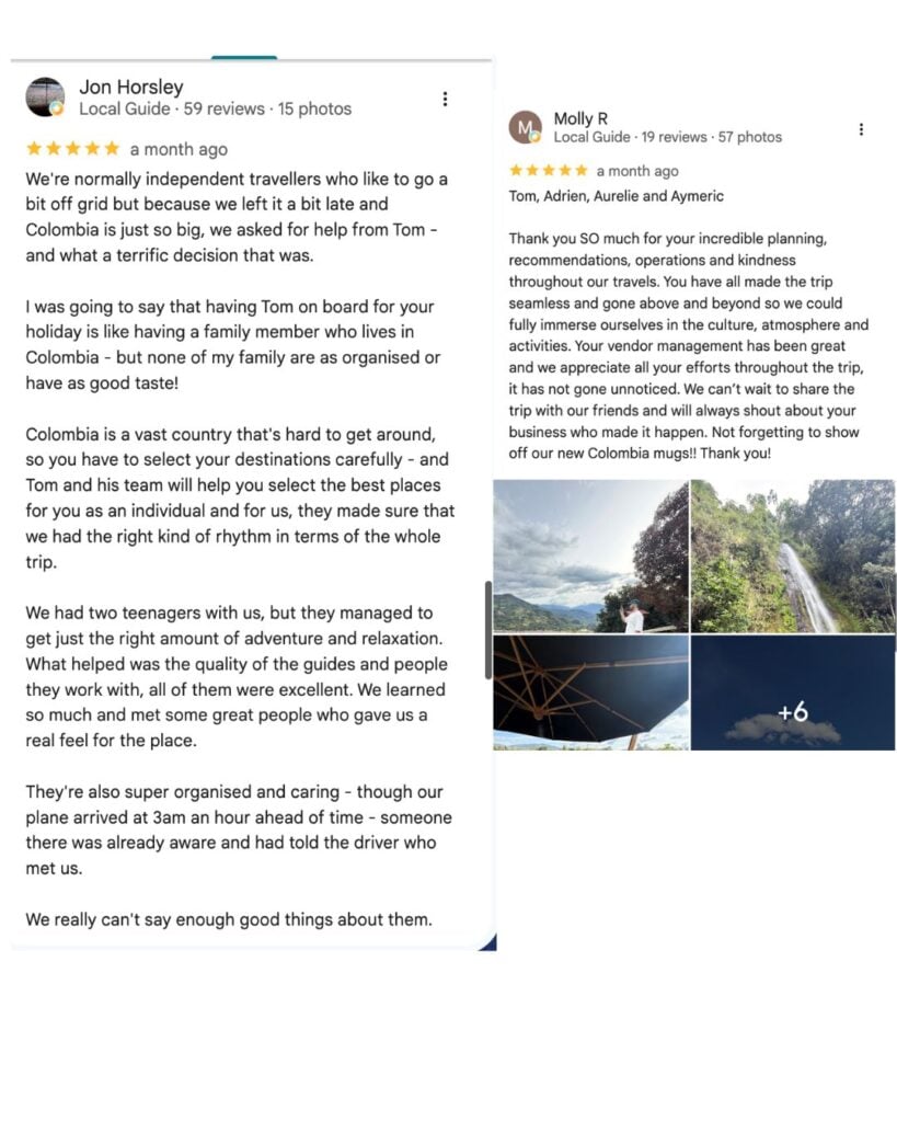
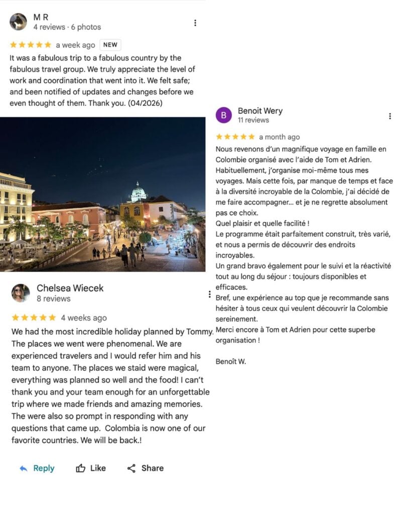
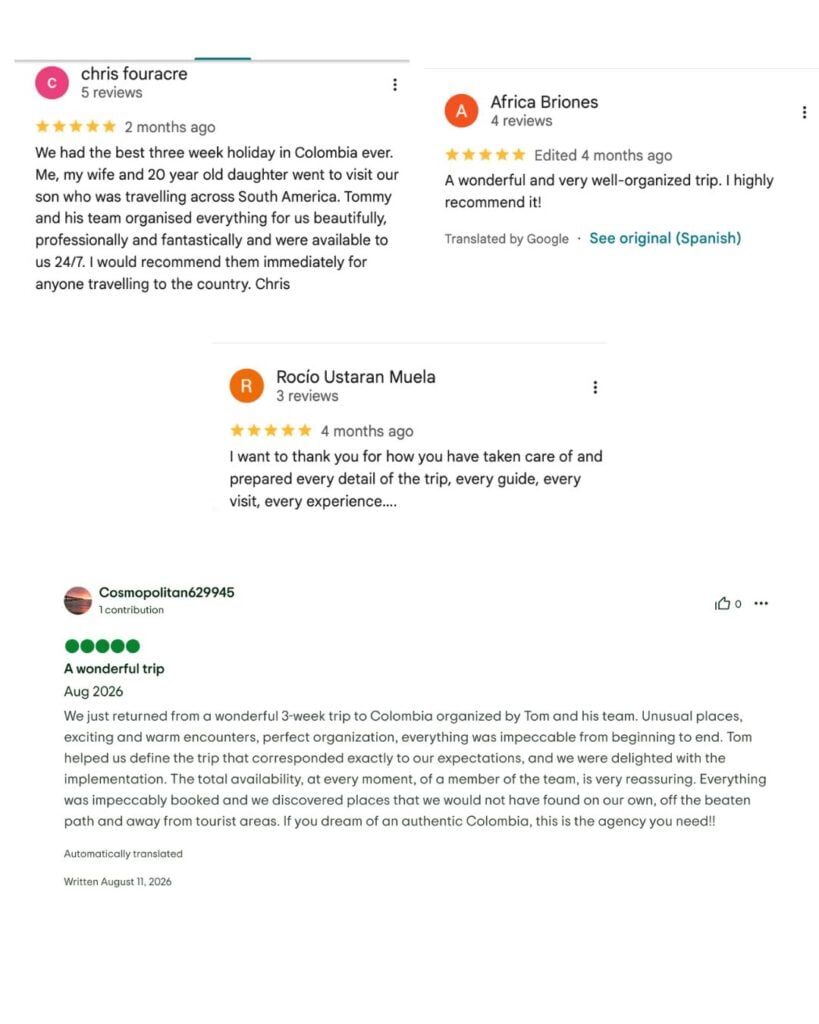
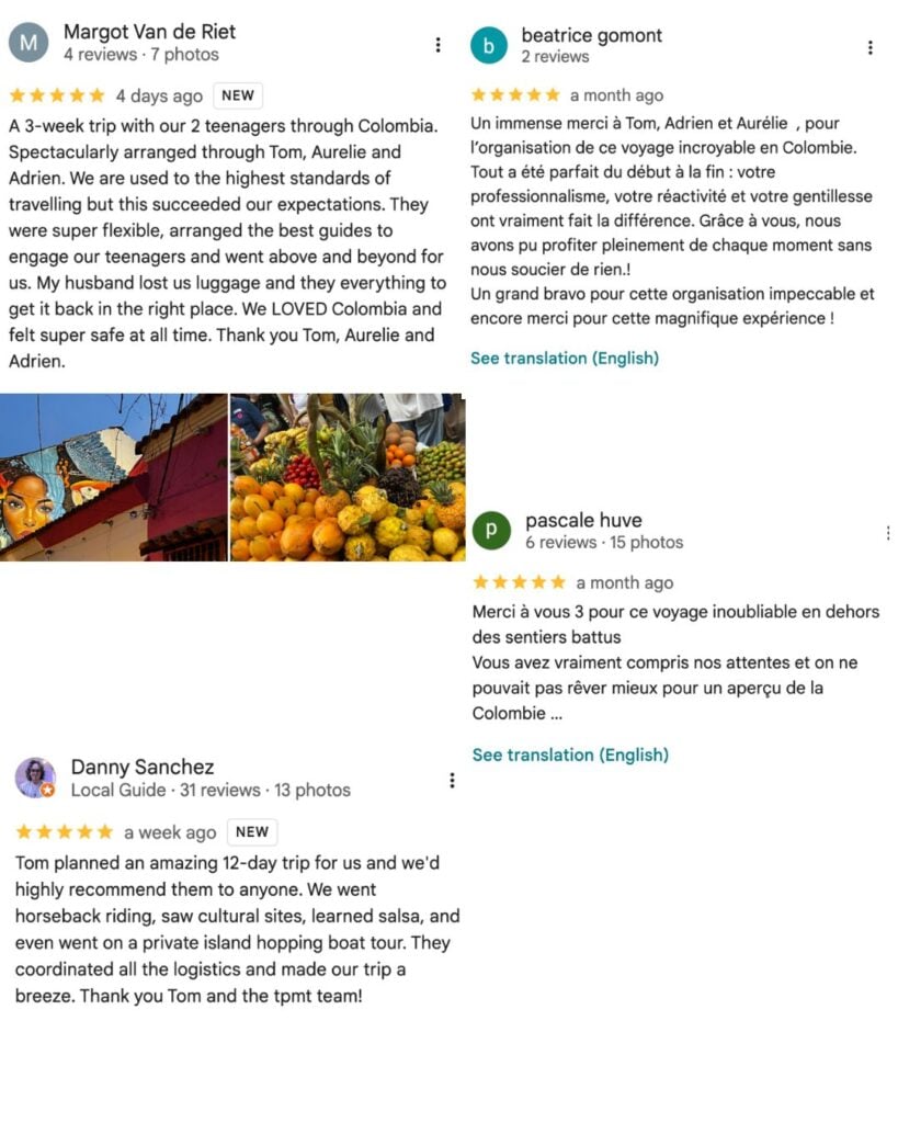
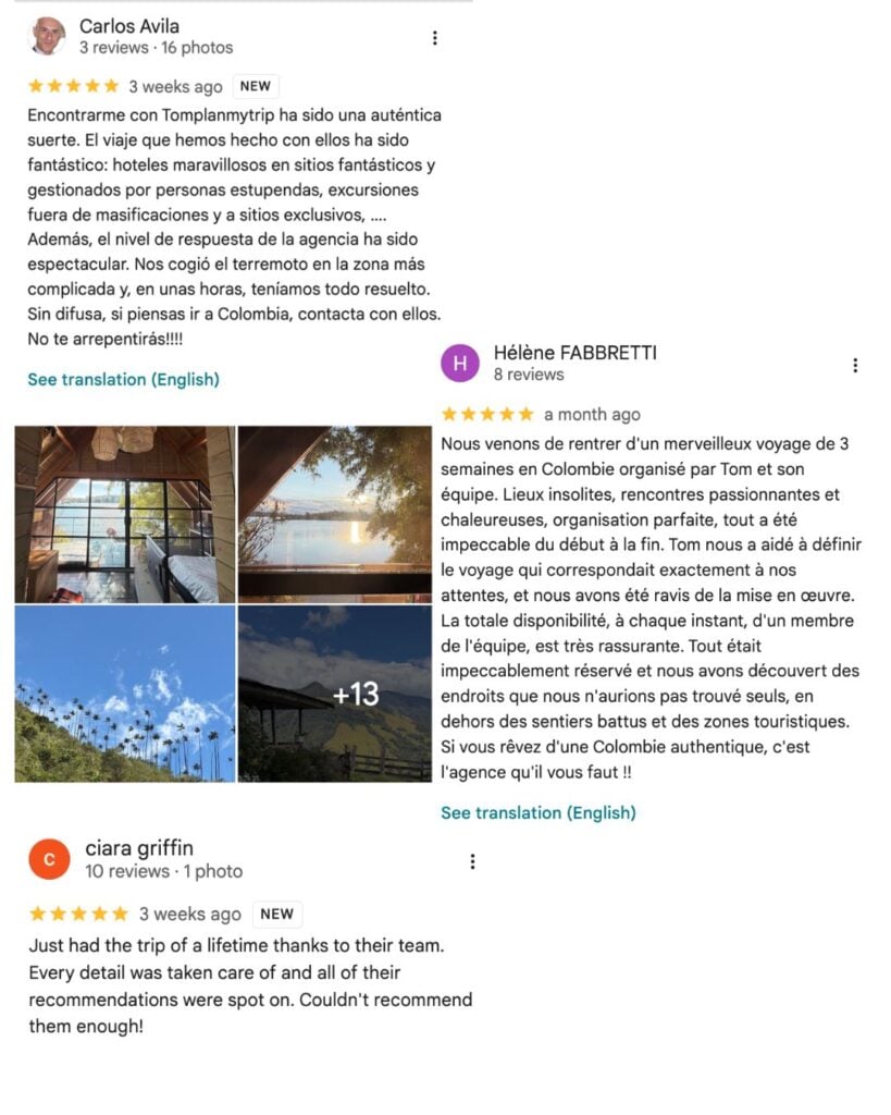
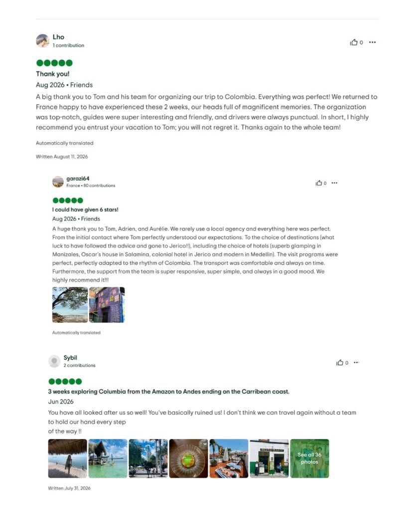
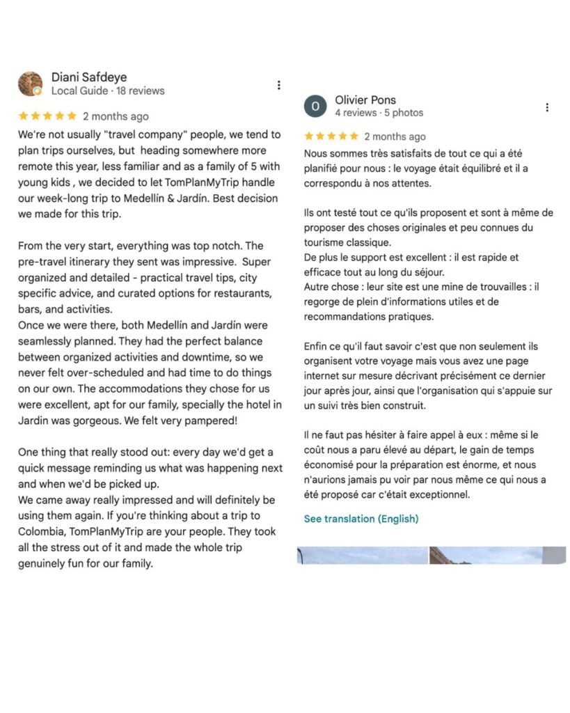
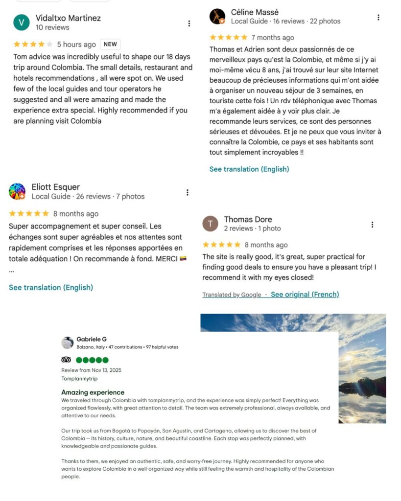
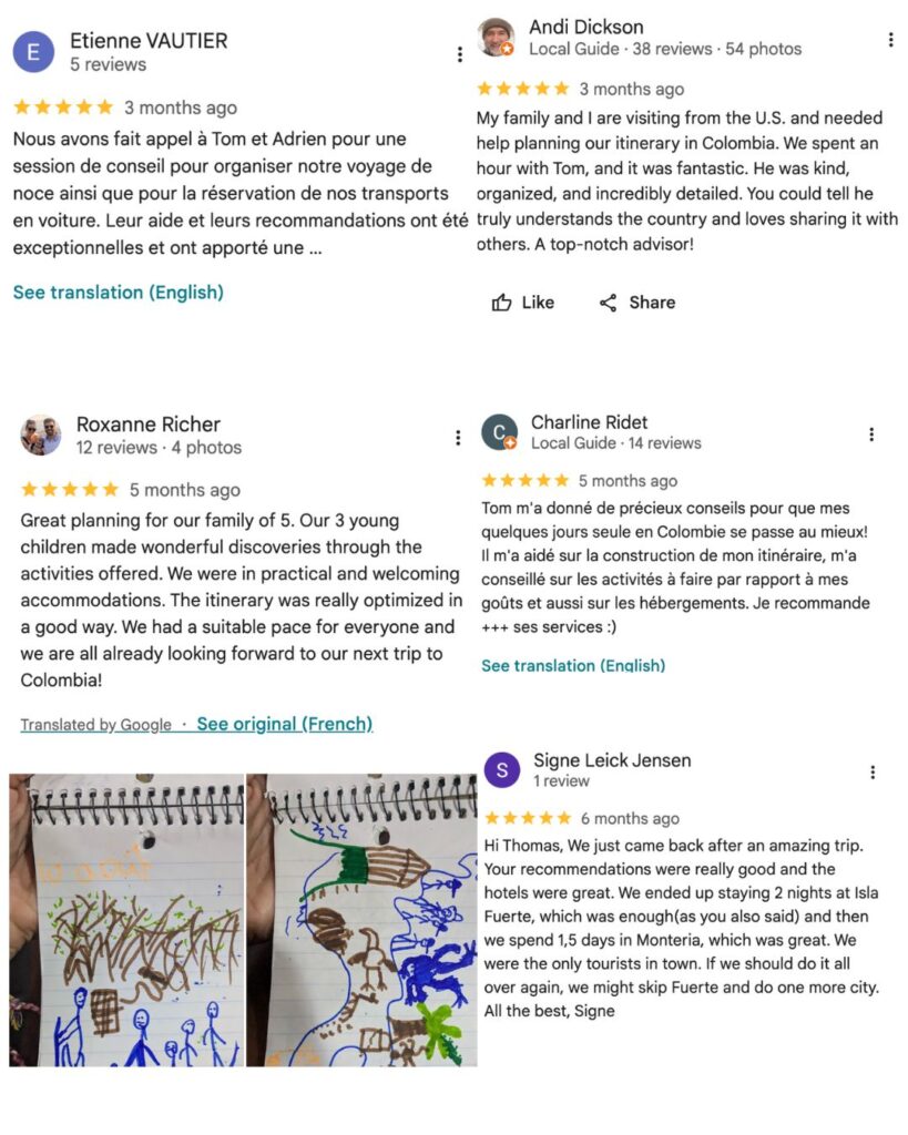
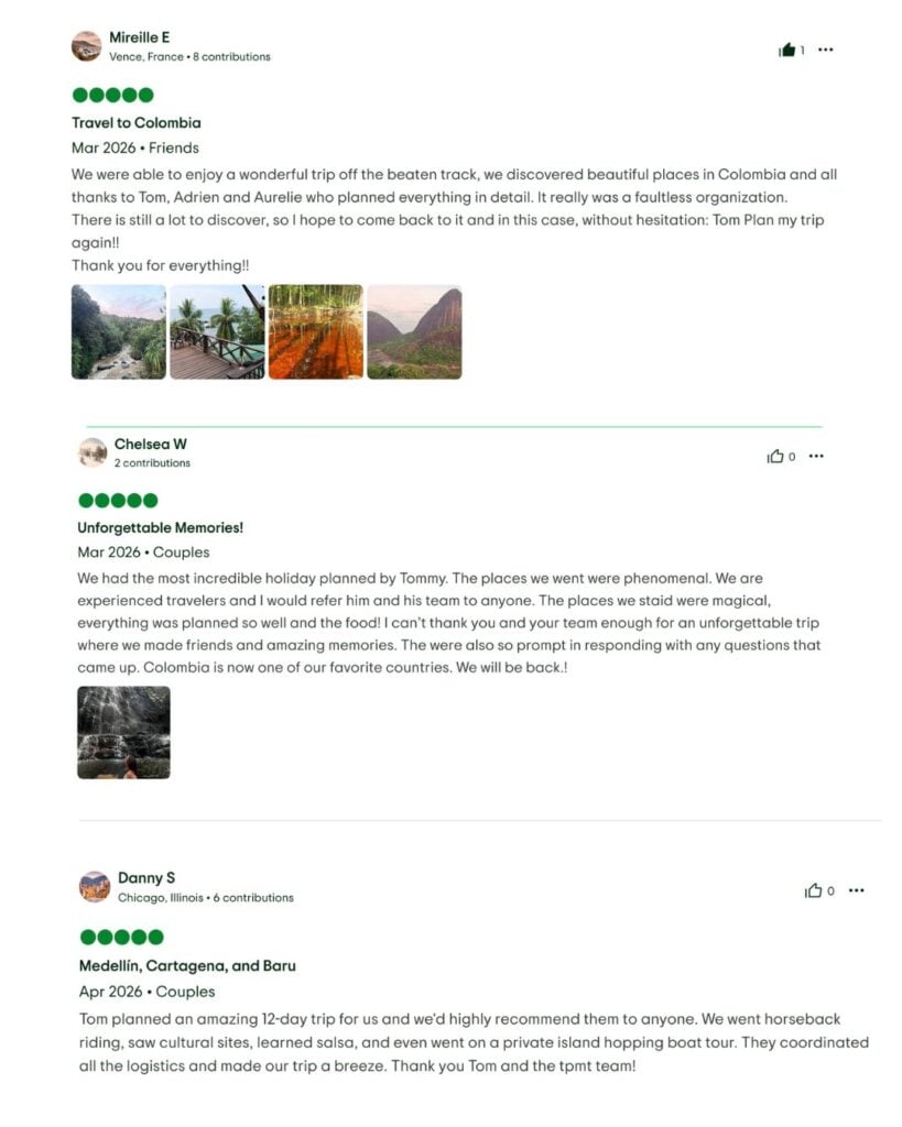
+185 five-star reviews on Google Maps

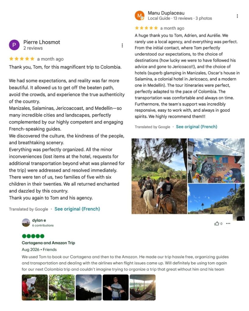

The solution for a successful Colombia trip
“Usually, I don’t go through a travel agency. But for Colombia, I needed help — and this agency transformed my experience in this country.”
That’s the kind of comment you’ll find most often in our reviews (we’ll let you read them 😉).
Let’s explore together for a quality, one-of-a-kind trip that lets you truly connect with the country:
- Undiscovered Colombia — adventures off the beaten path
- Easy Colombia — stress-free, fully comfortable
- Premium Colombia — high-end that stays authentic
What type of trip suits you?
Every trip is unique, but you might see yourself in one of these themes.
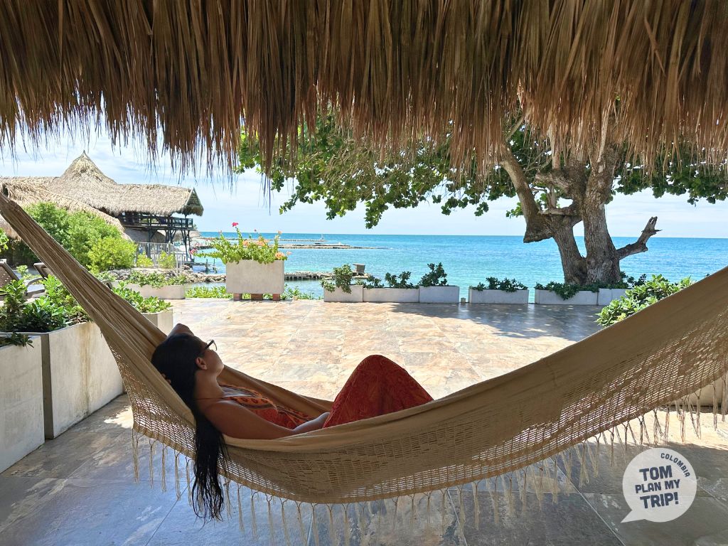
EASY
Colombia stress-free, comfortable and at your own pace — Say goodbye to vacations that leave you drained. We design a trip where every day is a pleasure, balancing exploration and relaxation.
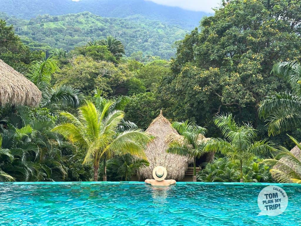
PREMIUM
Premium journeys through the heart of Colombia — Comfort, character, authenticity. You shouldn’t have to choose between a luxury experience and a genuine connection with the country. We give you both.
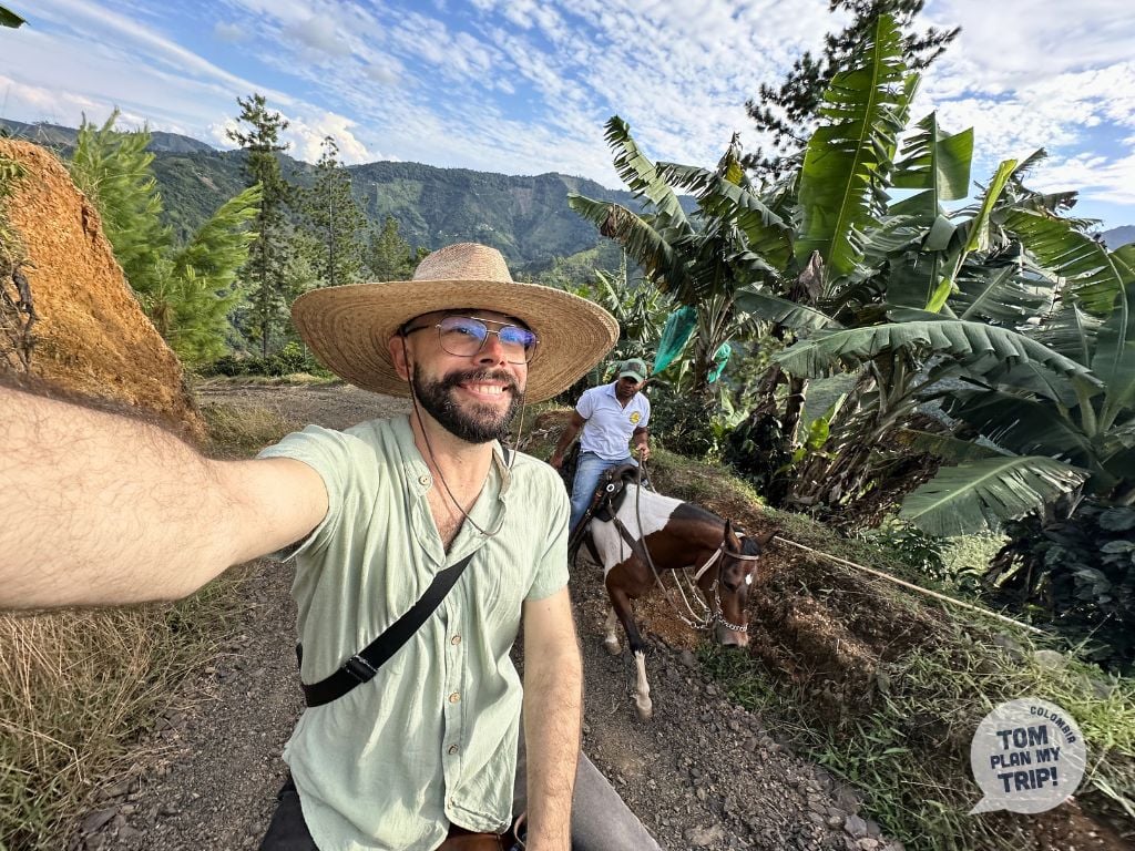
HIDDEN
The Colombia beyond the tourist trail — We don’t take you on a tour of Colombia. We immerse you in it, sharing unforgettable moments with your loved ones in stunning places you’d never have discovered on your own.
Learn moreWhat our clients say
Ideas for your adventure in Colombia
Select a Region of Colombia


Western Caribbean Coast
Colombian Destinations Listed Alphabetically
Places from A to I
Places from J to P
Places from R to Z
Follow us on Instagram!


Our secret to actually enjoying your Colombia vacation
Colombia is twice the size of France. There’s no point trying to see it all in 15 days. Our trips distill 11 years of boots-on-the-ground exploration into the essentials: the very best of the country, without the stress of racing around.
